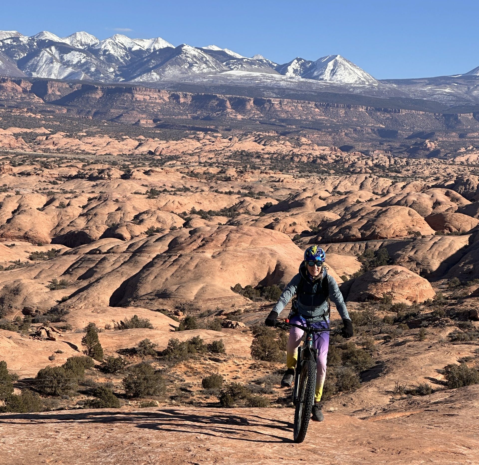
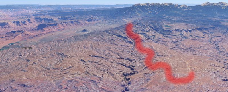
(with a side of The Big Burrito “coming soon”)  The Whole Enchilada is famous. It is ranked the number one mountain bike trail in the world by Singletracks.com. And yet it isn’t actually a “trail” at all, but rather a route that involves linking together six distinct trails back-to-back.
Writers have described it as “iconic,” “awe-inspiring,” “The finest mountain bike ride anywhere.” Another wrote of it, “If you had to choose one last mountain bike ‘meal’ this one would be a worthy contender.”
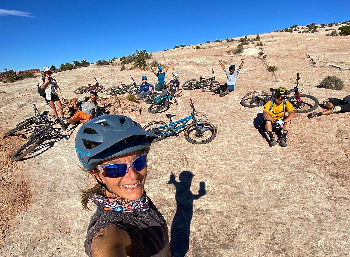
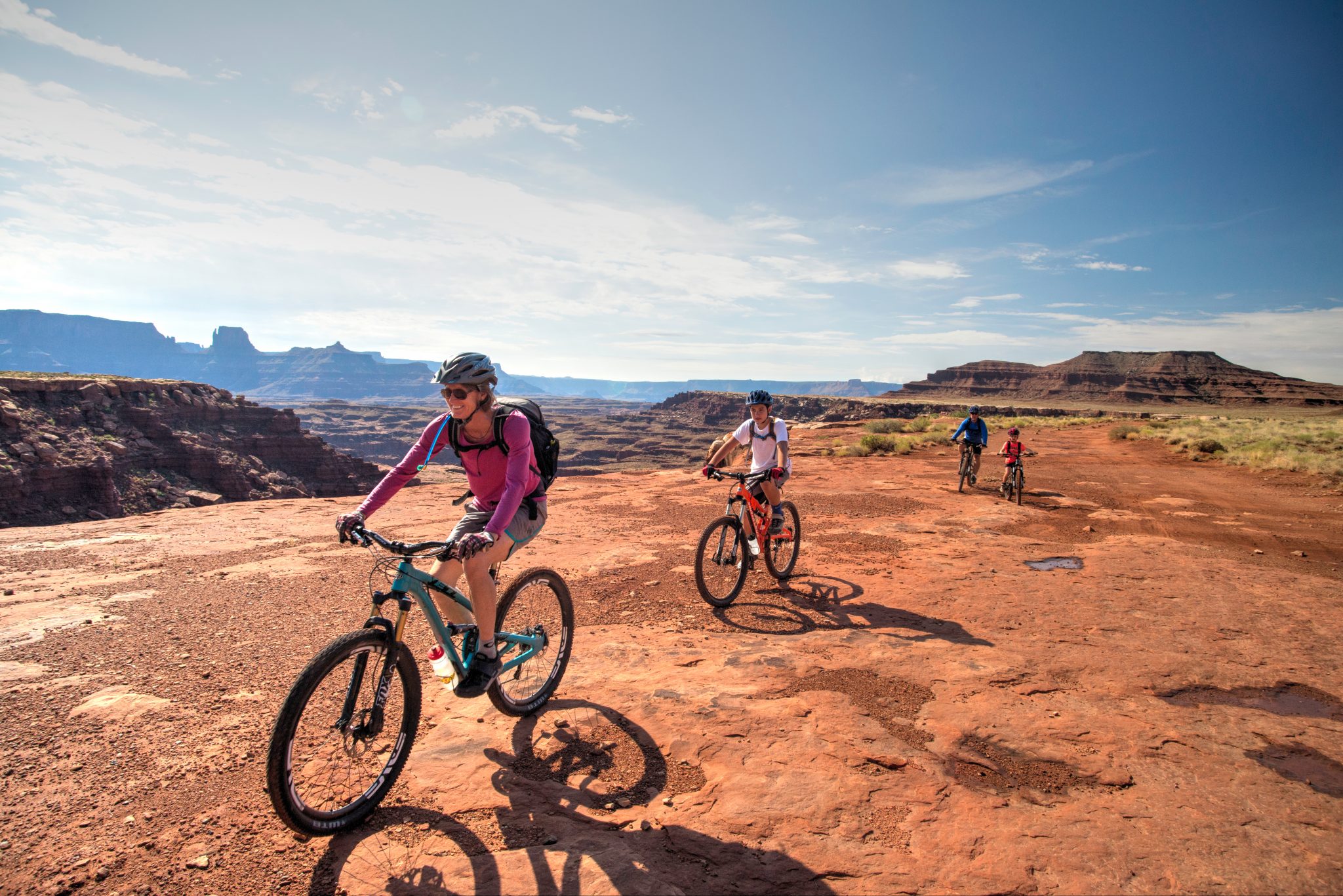
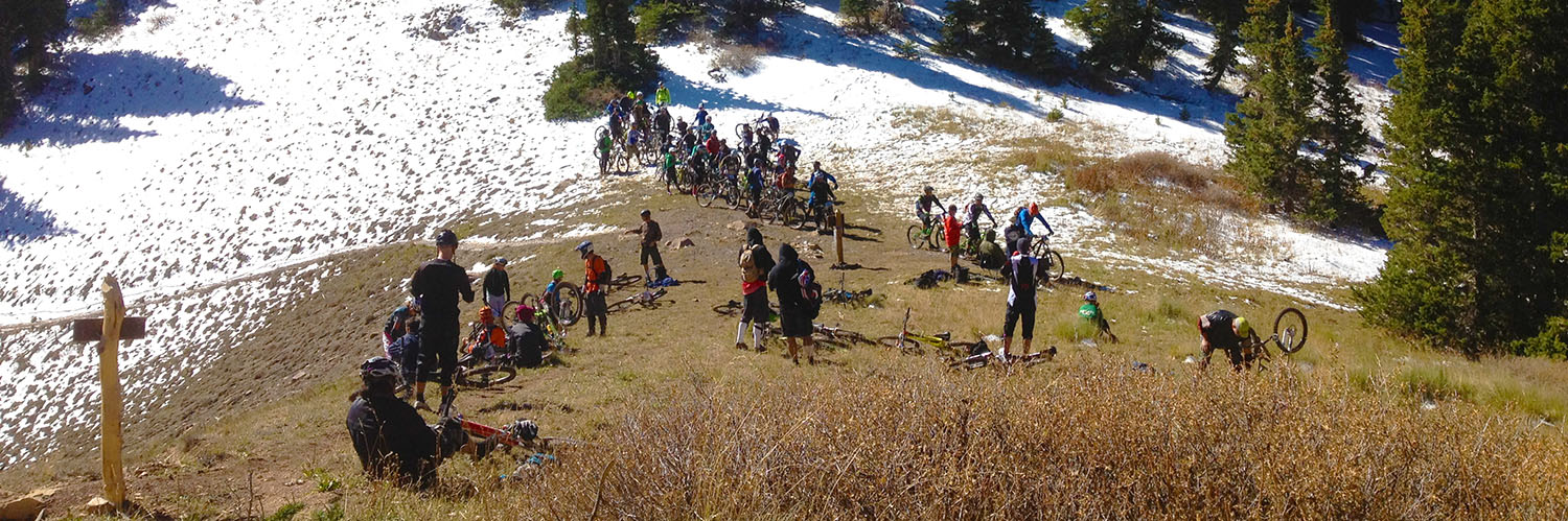
That level of fame makes it very popular in Moab. Hundreds of riders each week tackle this major, day-long ride. If you see [shuttle buses](https://www.google.com/search?q=moab+mountain+bike+shuttles&oq=moab+mountain+bike+shuttles) heading south on Main Street in the morning, packed to the “rafters” with bikes and riders, The Whole Enchilada is probably where they’re heading.
Owing to its length (over 34 miles) and its technical sections, this route is also *one of the most difficult in the Moab area (rated Black Diamond.)* For some people, that is reason enough to warrant jumping on a [guided tour](https://rimtours.com/tours/whole-enchilada-hazzard/), which at [Rim Tours](https://rimtours.com/), also includes a packed lunch. Even with a guide, however, *riders need to have advanced riding skills and carry 3 liters of water*. The Whole Enchilada is not really for intermediate riders but because it is so famous, people often underestimate its difficulties and end up in trouble.
 Due to snow on the upper sections, [The Whole Enchilada](https://mtbparks.com/Park-Pages/Utah/Moab/Trails-Moab/MOAB-TRAILS-%7C-Whole-Enchilada-/-Porcupine-Rim.html) is only rideable *in its entirety* after July 1 (and those same sections often close in early or late October.) Riders who tackle it either before July 1 or after the first snows fly are not getting “The Whole” Enchilada but rather certain pieces, or bites of it. The pieces, in order from top to bottom, are:
Burro Pass
Length: 4.2 miles
Difficulty: Advanced riding skills required, starts at 10,500 ft. and climbs 700 ft., avg. grade 14%
Hazzard County
Length: 2.9 miles
Difficulty: Intermediate to advanced, avg. grade 9%
Kokopelli
Length: 1.8 miles
Difficulty: Two-track road section dodging rocks, avg. grade 7%
UPS (Upper Porcupine Singletrack)
Length: 2.3 miles
Difficulty: Moderately challenging singletrack over rock, roots, ledges, avg. grade 6%
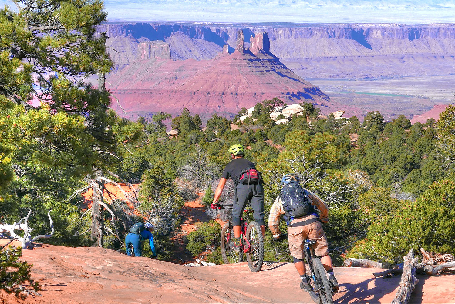
LPS (Lower Porcupine Singletrack)
Length: 1.8 miles staying along the rim
Difficulty: Technically challenging, avg. grade 11%
Porcupine Rim
Length: 11.5 miles
Difficulty: A fast but somewhat rough ride for advanced riders only, avg. grade 7%  Depending on the time of year and existing trail conditions, shuttles from town drop riders at the highest point available, with a corresponding cost of $20, $25, or $30, depending on the starting location.
To Bail or Not To Bail?
One of the tricky aspects of riding The Whole Enchilada is judging whether to bail out midway. By the time riders get to the LPS intersection, many are already very tired, or perhaps their water supply is low or completely spent. Currently, the only bail-out option is to leave the bike trail and ride Sand Flats Road back to town – a dirt and gravel road that is often busy with automobile, ATV and motorcycle traffic.
 Riders head from LPS down Sand Flats Road In order to solve this problem, [Grand County Trail Mix](https://www.grandcountyutah.net/223/Trail-Mix-Committee) has been working with their partner agencies to create a safer, more bike-friendly option. Called “The Big Burrito,” *once it’s completed *this new trail will allow bikers to leave The Whole Enchilada route at the LPS intersection and take a more moderate route back to town, roughly paralleling Sand Flats Road, but on singletrack.
Construction on the route has not yet even begun but according to Tyson Swasey, Operations Coordinator for [Grand County Active Transportation and Trails](https://grandcountyutah.net/971/Active-Transportation-and-Trails), work on the lower section is slated to begin September 1, 2019 (depending on temperatures) and it will be built out in three phases.
Swasey explained via email that one of the key reasons behind the upcoming project was safety. “Many riders choose to ride the harder trail (LPS and Porcupine Rim) even if they are already tired, and every year there are a high number of accidents that require Search and Rescue. The Big Burrito Trail will provide a more moderate option to get back to town but still be a fun singletrack trail in beautiful area that cuts out many miles of riding on the Sand Flats Road. It is a needed addition to the trail network that will also be a world-class route.”
The 9-mile trail will run from LPS to the northern entrance of the existing Fins and Things jeep route.
But don’t expect to be able to ride it anytime in the immediate future.
 “The trail will be constructed in three phases,” wrote Swasey. “One reason for this is because we are only building during windows that impact wildlife as little as possible, so construction will only happen during about 2 months out of the year. The other reason is that Sand Flats Recreation Area is a popular area with a lot of activity, so we want to integrate this new trail slowly. That way, if there are any unforeseen issues, we can work with Sand Flats to adapt to them as we continue to plan for the next phases.”
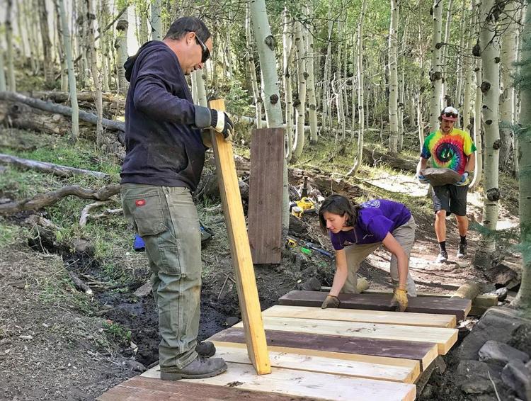 Trail Mix volunteers at work on an upper section of The Whole Enchilada Trail